
India gets its own GPS with IRNSS-1G Satellite launch
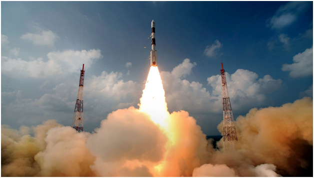
India is not far behind the developed nations. The country is on a mission to get its own version of Global Positioning System (GPS). An Indian Polar Satellite Launch Vehicle (PSLV) rocket lifted off successfully with the country’s seventh satellite, IRNSS-1G (India Navigation Satellite System) from the Satish Dhawan Space Centre in Sriharikota near Chennai on April 29. It consists of a constellation of seven satellites of which six – IRNSS-1A, IRNSS-1B, IRNSS-1C, IRNSS-1D, IRNSS-1E and IRNSS-1F- have already been put into orbit. It is like a position information portal of the entire country and covers around 1500km around the Indian mainland (boundaries). It stands tall at 44.4 meters and weighs around 320 tonnes. The rocket would put IRNSS-1G into orbit at an altitude 497.8 km. It has a life span of 12 years.
ISRO (Indian Space Research Organisation) has set up a ground facility across 18 different locations which will be responsible for satellite ranging and monitoring, generation and transmission of navigation parameters, etc. Users will have a position accuracy of better than 20 meters. The IRNSS will offer two types of services namely Standard Positioning Services for all users and Restricted Services (RS) which will be provided only to the authorized users. The restricted service will be used by the military for missile delivery and navigation and tracking of aircraft. Other applications of IRNSS include aerial and marine navigation, disaster management, vehicle tracking and fleet management, Search and Rescue (SAR) operations, Mining and Surveying and other Mapping operations. With the constellation of satellites complete, India has joined the league of countries that has an indigenous navigation system. Thus marks the beginning of a developed nation, reducing dependency on the US Global Positioning System.